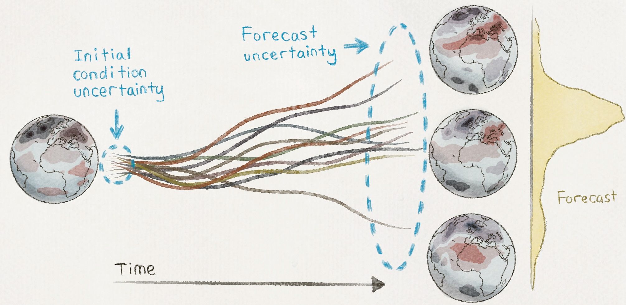
When we think of air pollution, we think of smoke, dust and tiny particles clogging up our lungs. Field studies can help us measure air pollution, but understanding the dynamics of pollutants and associating them with public health impacts is important to prevent and mitigate these effects. Professor Joshua Apte and his group in UC Berkeley’s Department of Civil and Environmental Engineering have set out to work on exactly that; by studying outdoor air pollution through sensing and statistical modeling, they have associated spatial patterns of pollutants with health impacts on the affected communities.
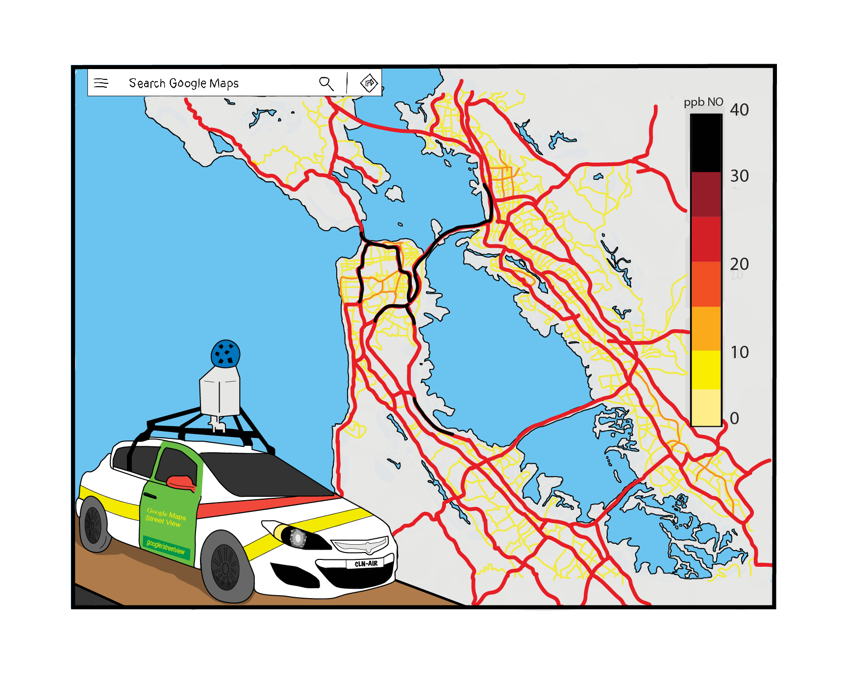
While developed Western nations like the United States have an existing dense network of sensors, other countries have sparse pollution data. Apte has worked on deploying several low-cost sensors in Bengaluru and Uttar Pradesh in India to close this data gap. Through these studies, they have discovered novel pollutants and studied regional patterns of pollutants. Closer to home, the group has worked on pollutant data collected by Google Street View cars in Oakland. They found strong hyperlocal patterns, with a five to eight-fold increase in pollutants within a city block due to local pollutant sources.
Such insights are an important tool for community members to advocate for better air quality and push for policy changes to improve health outcomes. The group is now working on building a new modeling technique to quickly estimate the spread of pollutants. This model will aid policymakers in simulating the effects of emissions across vast geographic areas.
------- Utkarsha Agwan is a graduate student in EECS
Design by Kahima Ford
This article is part of the Fall 2022 issue.